Ibike Korea People-to-People Program
 Photo essay: Ara and
Hangang Trail -
Incheon to
Seoul
Incheon to SEOUL
(50km, 31mi) Ara Canal and Hangang Trail
Points of Interest: Seoul weekend riverside recreation scene.
 Before
Incheon was primarily identified as an international airport it was a major port
and international trading center. But it history is much older than that.
It was inhabited during the stone age and became a recognized district as long
ago as the 5th century in the Three Kingdoms Period. Over the next 1000
years it went through several name changes until is was given its present name
in the 15th century.
 Incheon
was the first port opened to International trade in 1883. During this period it
had two foreign concession, one governed by the Qing (Chinese) and adjacent to
that, one governed by Japan.
Incheon
was the first port opened to International trade in 1883. During this period it
had two foreign concession, one governed by the Qing (Chinese) and adjacent to
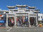
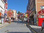
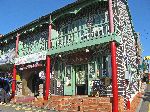
that, one governed by Japan.Bukseong-dong, is Korea's only Chinatown. The buildings are mostly brick, red is a featured color and there are still numerous Chinese restaurants, food stores and assorted merchants, and the design, decoration, and motifs add to the ambiance..
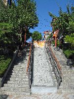
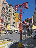
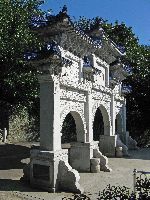 Some
of the features that add to the character of the district are a couple of
stair ways, Chinese gates and the street lights.
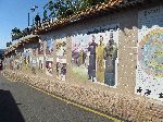
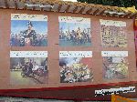 Samgukji
(Three Kingdoms) Mural Street (left),
which has artwork on both sides of the street, is a couple blocks long.
The murals depict people and events (many violent) of the Three Kingdoms Period. Unless you know the
history or read Hangul, it is hard to draw much information from the displays
because all of the text is in Hangul.
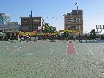
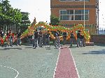 On
the same street is the Jung-san School for Chinese students. As we passed
their Lion Dance team was practicing (right).
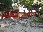
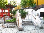 Chinatown's
Shimteo (garden) was built as part of an effort to revitalize cultural exchange
between Korea and China, and to provide a place of rest and relaxation for
tourist. It's design is based on the Zhuozhengyuan (The Humble
Administrator's Garden) and Liuyuan (The Lingering Garden), two of the four
famous classical gardens in China. The Chinese ambiance is created by planting
some of China's favorite plant species, including rose, bamboo and peony trees.
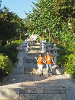
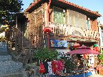 Between
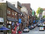
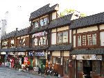
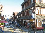
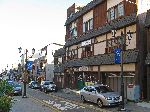
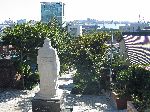
the Qing and Japanese concession is boundary road and the boundary road stairs (left). To the west
of the boundary is
Chinatown and mostly brick building. To the east is Japantown and most
wood buildings. While Japantown retains it look, the presence of Japanese
commercial activity disappeared with the defeat and withdrawal of the Japanese
at the end of World War II. At the street level much of the space has been
filled with Chinese businesses.

 In
2003 history repeated itself in a way when the Incheon Free Economic Zone was
established as Korea’s first free economic zone. The zone is a specially
designated area to create the most favorable business and living environment
where foreign nationals can live and invest freely and conveniently. IFEZ
is planned to be a self-contained living and business district featuring air and
sea transportation, a logistics complex, an international business center,
financial services, residences, schools and hospitals, and shopping and
entertainment centers.
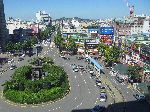
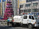
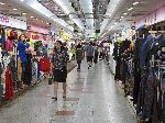 Other
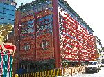
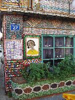
modern aspects of Incheon include a unique building covered in bottle caps
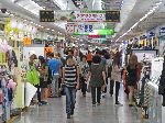
(left) and an infrastructure that seems to be a part of most urban areas in
Korea, the underground shopping mall (right)
 A
neighboring suburb to Incheon is Bucheon. This commentary probably doesn't do it
justice. It seems quite normal with the requisite infrastructure of
schools, colleges, museums, health care facilities, churches, temples, a subway
line, gardens, parks, a full spectrum of shops seemingly covering everything
that someone could possible need, an Emart, planter boxes of flowers (right),
etc.
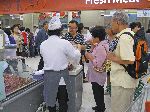
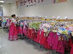 Emarts
are a cross between Costco, Target, and Sears. Noteworthy are the food
samples in the grocery section. A particularly colorful part of the
clothing section is the display of hanboks (traditional Korean dress).
Beyond these the had contemporary fashion, house wares, jewelry, electronics,
sporting goods, appliances, etc.
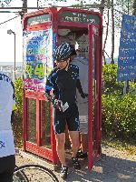 The
bicycle trail network starts 5km north of Incheon Chinatown, at the Ara
Canal. From this point in the northwest of Korea, there is an 800km trail system
to Busan in the southeast of the country. There are also branch trails
that lead in other directions.
The
bicycle trail network starts 5km north of Incheon Chinatown, at the Ara
Canal. From this point in the northwest of Korea, there is an 800km trail system
to Busan in the southeast of the country. There are also branch trails
that lead in other directions.There is a "passport" for the trail system. Every 20-50km there is a red "certification" booth with a rubber stamp unique to that location inside. As you travel along you can check in at the certification centers and collect the stamps showing your presences and fill the pages of the passport.
The purpose of the Ara Canal, completed in 2011, is to allow boats (mostly tourism oriented) to access the Han River, without sailing through the heavily militarized zone adjacent to the boarder with North Korea, at the mouth of the Han River. There are locks at each end so that the waterway doesn't drain or have a rushing current as the ocean's tide changes.
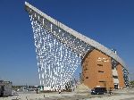
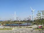
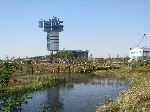 Typical of a major public works project in Korea
no expense seems to have been spared in the upland areas. On the Ara Canal there
is an impressive a visitor center, park and amenities around the head of the
trail, and for the length of the project there are other recreation activities
and installations.
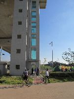
 To
allow trail users of one side of the canal to get over to the trail on the other
side of the canal, there is an elevator that will take people and bikes up to a
high bridge, which has a bicycle facility that allows them to safely cross the
bridge.
To
allow trail users of one side of the canal to get over to the trail on the other
side of the canal, there is an elevator that will take people and bikes up to a
high bridge, which has a bicycle facility that allows them to safely cross the
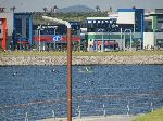
bridge.On the river rowers in racing shells train (right). Sailing and swimming don't seem to be on the list of activities options here.
On
the river bank the local approach to a day trip out of the city is to bring a
tent and set up house keeping.
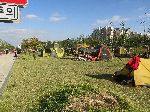 It doesn't seem to matter that the next
tent is probably closer to your than your neighbors are to you in the city --
there is certainly less privacy. Maybe it is a way to be with people, not
away from them.
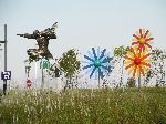
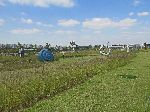
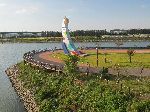
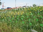
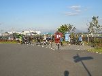
At the junction of the Ara Canal Trail and the Han River Trail there is a rest area with seats, shade and the second certification station (right).
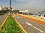
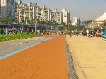 From
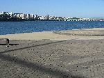
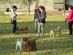
the Ara Canal, through Seoul and up several of the tributaries, the entire south
bank and much of the north shore of the Hangang (river) have been developed for
recreational activities. The most linear elements are paths for walking
and cycling. The spot developments include exercise courses, sports
fields, skating ovals, swimming pools, wetland trails, rest stations, view
points and more.
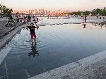
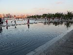 While
swimming and the Han River don't seem to be desirable, there are a few
people-friendly water feature between the trail and the river (right).
Even as the sunset in October people were still out playing in the water.
 Because
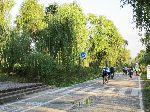
for many decades the primary use of the shores of the Han River in Seoul was for
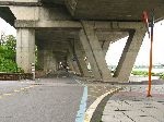
at grade and elevated highways, now, in many places the bicycle path is tucked under the
roadways. On the bright side it the covered path makes for drier cycling on rainy days and
is a very effective sunshade from the summer rays.
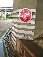
It also makes for some dramatic "risk", "hazard" or "danger" signage (right).
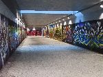
The massive concrete barriers dictate that a number of the access points to the path are through tunnels (left).
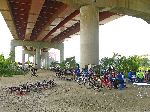
 The
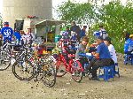
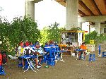
land under the floating expressways is also used by entrepreneurial locals to
set up trailside cafeterias for hungry and thirsty bicyclist. Generally
you can't get the healthiest and hardiest of Korea cuisine, but you can grab a
few carbohydrates out of a package.
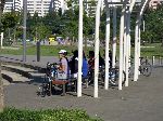
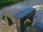
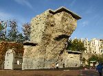
In one place the trail-side furniture is a table with a Go board and adjacent stools -- you need to supply your own stones.
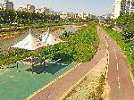
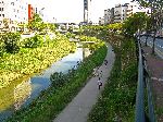 The
Jungnangcheon (stream) tributary to the Hangang has bicycle and pedestrian
facility on much of both sides of the waterway. A lot of it runs through
areas with a lot of high rise residential building so it provide substantial
open space for the local residents.
The
Jungnangcheon (stream) tributary to the Hangang has bicycle and pedestrian
facility on much of both sides of the waterway. A lot of it runs through
areas with a lot of high rise residential building so it provide substantial
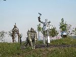
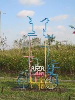
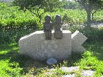
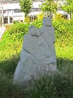
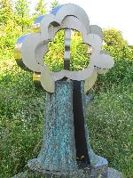
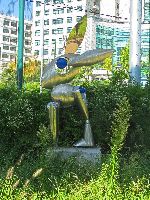
open space for the local residents.Near the mouth of Jungnamcheon is a sculpture garden. A few pieces are shown below:
 Please
contact us if you would like to be added to
Ibike's mailing list or have questions, comments, corrections or criticism. (Also, please let us know how you learned about us and
found this site.) Privacy policy.
![]() IBF Homepage
IBF Homepage ![]() Ibike Programs
Ibike Programs
![]() Ibike Schedule
Ibike Schedule
![]() Search
Search
